Table of Contents
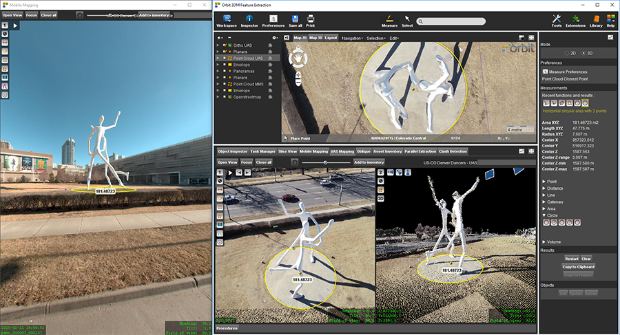
Orbit 3DM Feature Extraction
Reference documentation of Orbit 3DM Feature Extraction Basic, Standard and Pro.
Installation |
Tabs - Procedures - Extensions
|
Concepts - Technology
|
Main Toolbar - Map - Datasets |