Map 2D - Edit Tools
The aim of this exercise is to guide the user through the Edit tools in Map 2D. The user will be able to explore te Edit tools menu by adding and editing objects, vertices and appearance.
- Relevant for : 3DM Feature Extraction, 3DM Content Manager, 3DM Publisher
- Product use for recording : 3DM Feature Extraction Standard 18.1.1
Preparations
Reference documentation
Preceding Exercises
Resources
- BE Ghent\MMS Orbit Runs
- BE Ghent\Reference Data
Exercise
Add and change the legend of a dataset, create and split objects, merge and make parallel by distance.
- Open run
BE Gent by Topcon. - Add vector resource
Add “topcon_gent_edge_of_road.shp” to the dataset list. - Change legend
Basic appearance “Line Width : 3”, color red. - Make the dataset recordable.
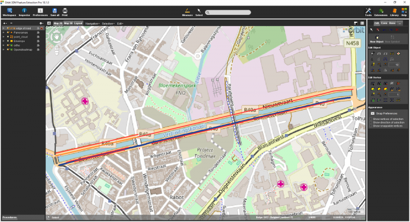
- Create new object
Digitize the road across the river, in the “edge_of_road.shp” on the OpenStreetMap. Only the side closer to the river. - Split object
Split the newly created objects at intersections between the road and bridges - Merge object
Select two segments and merge them into a single object. - Create parallel
Make a parallel by entering a distance with value 10. - Move line
Move the newly created parallel line to fit the other side of the road.
Results
Last modified:: 2019/03/25 11:36