Table of Contents
Georeference Image and Vector
The “Georeference Image” and “Georeference Vector” can be used to position datasets missing a spatial reference on the Map 2D reference frame.

Georeferencing
Before starting georeferencing drag one or several georeferenced layers into the map view. It is important to use all the georeferenced available data to achieve a reasonable result. This is the data that will be used to search control points. The more detailed and the more recent the information on this data the better the result will be.
- To georeference vector data choose Additional Tool –> Georeference Vector Data
- To georeference image data choose Additional Tool –> Georeference Image Data
The Georeference Tool window
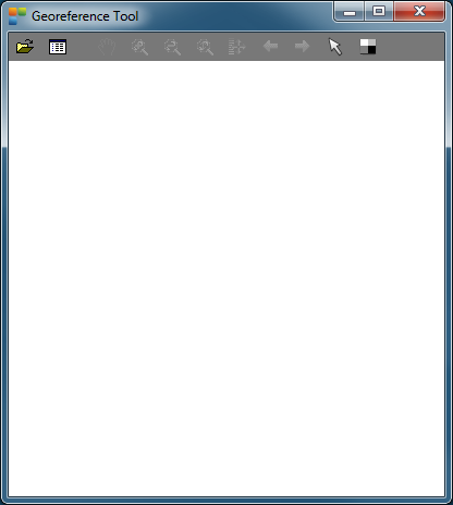
- Open the image or vector file who has to be georeferenced
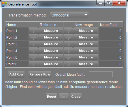
- Determining the control points happens in the Georeference Calculation Window
Open file

Select the format according to the data you want to georeference:
- Image data: jpg, tiff, omi, sid, png, …
- Vector data: shp, shp2, ovf, ovt, …
The file will open in the map view of the georeference tool.
More info about navigating in the map view : Mapcanvas navigation
Calculation window

The calculation window evaluates corresponding points on the reference map ( Orbit Map Canvas ) and the new image or vector file ( in the Georeference tool map view ).
- Measure a point on the reference map by clicking a position. Do the same on the new image.
- When 3 corresponding points are measured, Orbit calculates a mean fault.
- To improve georeference, keep the mean fault as low as possible.
- The overall mean fault should be lower than 0.2. If higher: find the point with the largest fault, edit its measurement and recalculate.
- Reset will delete all measurements.
- Save will save the georeference information to a worldfile ( in case of an image ). The image or vector file will be added to the Orbit workspace.
- Close will close the calculation window.
Georeference processor
Example
Consider the georeferenced context and the image who has to be georeferenced (for example an aerial image)
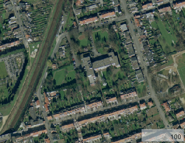
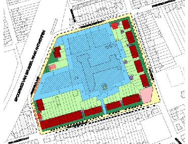
Open the Georeference Calculation Window to determine the controle points.
Search a location in one of both views of which you are able to define the exact same location in the other view. Click in the measure-button in the reference column and point out this specific location in the georeferenced context. The same location will be pointed out with the measure-button in the new image column.
Find at least 3 of such location to be able to georeference the image.
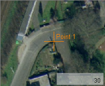

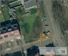

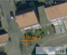

When 2 points are calculated the exact scale can be measured. From the third point on the distortion on this scale is calculated. This is the error visible in the right corner.
The error needs to be small (<0,2) to have an acceptable georeference result.
The button 'reset' will delete all the measures
The button 'save' will save this georeference result and the image will appear on its exact location in the map view.
The worldfile
A new textfile with the georeference details will be made and saved under the same path as the location of the georeferenced image. This textfile, which is named a worldfile contains 6 numbers:
- Line 1: pixelsize in the x-direction in map units
- Line 2: rotation about y-axis
- Line 3: rotation about x-axis
- Line 4: pixelsize in the y-direction in map units
- Line 5: x-coordinate of the center of the upper left
- Line 6: y-coordinate of the center of the upper left
Source: Wikipedia
Deleting this file will delete the georeference.
- For .omi images the worldfile will have the extension .oiw
- For .tif images the worldfile will have the extension .tfw
- For .jpg images the worldfile will have the extension .jgw
- For .png images the worldfile will have the extension .pgw
- For .ers images the worldfile will have the extension .esw
- For .oif images the worldfile will have the extension .ofw
- For .bmp images the worldfile will have the extension .bpw
Quality of georeferencing
The quality of georeferencing will increase if:
- The control points are not chosen on one line
- control points are spread over the image