For documentation on the current version, please check Knowledge Base.
Map and Layout View
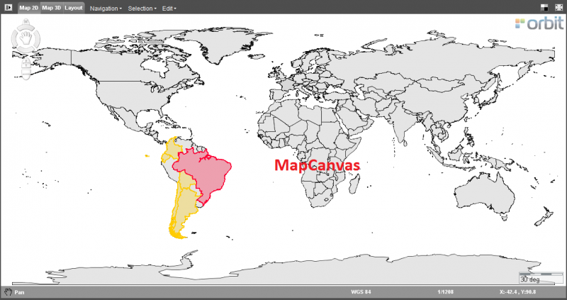
The Map is Orbit's core component to view all resources and to link or interact with any other component or extension.
Map 2D and Map 3D
Backdrop
The Backdrop icon in the right upper corner toggles the map background color, useful to detect white colored vector objects.
On 2D : white, light gray, dark gray, black. On 3D : white, light gray, blue, black.
Maximize / Re-size
The Maximize icon in the right upper corner toggles the window between map maximized and split screen mode, according the workspace preferences.
Select Vector Objects
Select vector objects or point cloud data on Map 2D and 3D,
see Select Objects on Map.
Context Menu
Right-click on the map to open the context menu and to navigate or export the MapCanvas view,
see Context Menu.
Status Bar
Display of active Map Function, display and edit of Map Coordinate Reference System and Map Scale, display and copy of map coordinates.
Use of proper Map CRS will increase Map viewing performance significantly.
Read more : Coordinate Reference Systems > Map CRS.
Active Map Function
The active map function is indicated in the left lower corner of the status bar and by the appearance of the cursor when hovering above the map.
Map 2d Only
Compass Rose
Compass rose, pan, zoom and rotate functions on Map 2D,
see Map 2D Navigate functions.
Measurements
Measure lines, circles, perpendicular distances and angles on Map 2D,
see Map 2D Measurements.
Map Menus
Navigation, Selection and Edit menu on Map 2D,
see Map 2D Menus.
Find Objects
Search objects based on a single attribute query,
see Find Objects.
Query Objects
Search objects based on complex attribute queries,
see Query Objects.
Map 3D Only
Navigation
Navigate, pan, zoom and rotate functions on Map 3D,
see Map 3D Navigation functions.
Measurements
Measure points, lines, area and rectangular volumes on Map 3D,
see 3D Measurements.
Print Layout
Print Layout
Provides all features to make a print of the MapCanvas and make a matching layout,
see Map Print Layout.