Map Navigation
Navigate in 2D and 3D Map Canvas
The goal of this exercise is to show to the user how to navigate in Map 2D and 3D. The user will be able to understand the differences between Map 2D and 3D and use properly the available navigation functions.
- Relevant for : 3DM Feature Extraction, 3DM Content Manager, 3DM Publisher
- Product use for recording : 3DM Feature Extraction Standard 18.1.1
Preparations
Reference documentation
Preceding Exercises
Resources
- BE Ghent/MMS Orbit Runs
Exercise
Navigate in Map 2D and 3D, test the different navigation functions.
- Add run
BE Ghent by Topcon. - Map 2D
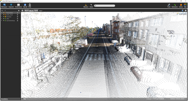
On Map 2D, test the pan and zoom functions. - Map 3D
On Map 3D, select the point cloud and right click “Zoom to Dataset extend…” - Navigate
Move around in the pointcloud, by click and drag, rotate the point cloud. - Map 3D
Test the pan and zoom functions.
Recording
Results
Last modified:: 2019/03/25 11:36