Ground Control Points
The goal of this exercise is to demonstrate to the user how to use and measure Ground Control Points and export its deviation table in Orbit. This exercise is a part of the adjustment procedure, the measured GCPs will be used further to adjust the data.
- Relevant for: 3DM Content Manager
Preparations
Reference documentation
Preceding Exercises
Resources
- BE Gent\MMS Orbit Runs
- BE Gent\Ground Control Points
Exercise
Add and measure ground control points, export deviation table.
- Open
the run BE Ghent by Topcon. - Open
the Ground Control Points extension. - Add
the ground control points file “gcp_4326”. - Measure
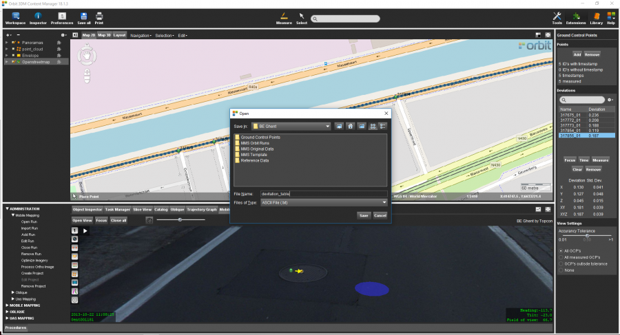
the points one by one. Keep the default settings. Move to other images to fully visualize the manholes. - Export
the deviation table as “deviation_table.txt”.
Results
Last modified:: 2019/03/25 11:36