Coordinate Reference Systems
The aim of this exercise is to show to the user how to manage Coordinate Reference Systems within the Orbit products. The user will be able to modify the existent CRS projection of different kinds of data and change the map CRS.
- Relevant for : 3DM Feature Extraction, 3DM Content Manager, 3DM Publisher
- Product use for recording : 3DM Feature Extraction Standard 18.1.1
Preparations
Reference documentation
Preceding Exercises
Resources
- BE Ghent\MMS Orbit Run
- BE Ghent\Reference Data
Exercise
Assign CRS to datasets and change the Map CRS.
- Open run
Open the run BE Ghent by Topcon, and check the CRS of each resource - Add dataset
Drag and drop the dataset “gent_manholes.ovf” and check the CRS of the dataset - Add tdataset
Drag and drop the dataset “ortho.omi” and check the CRS of the dataset - Add dataset
Drag and drop the dataset “topcon_gent_curbstone.ovf” - Define projection
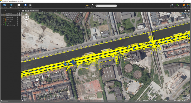
Assign it the projection 4326 - Map CRS
Change the map CRS to 31370 Belge 1072/ Belgian Lambert 72.
Notice the difference in performance when navigating on the pointcloud on Map 3D
Results
Last modified:: 2019/03/25 11:36