Table of Contents
Workflow on Bridge Clearance
This video is about automatically calculating bridge clearance on large scale pointcloud.
From raw input pointcloud, get individual minimum height value under each bridge featured in the pointcloud
Step by step
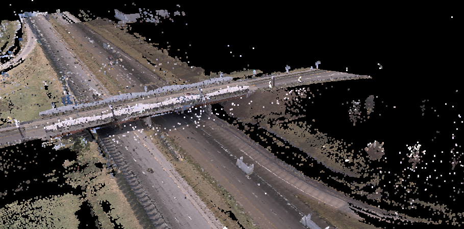
- Load your raw RGB mobile mapping pointcloud and optimize to OPC format if needed
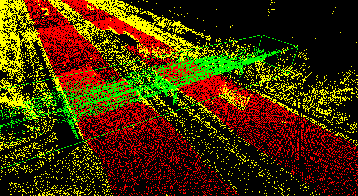
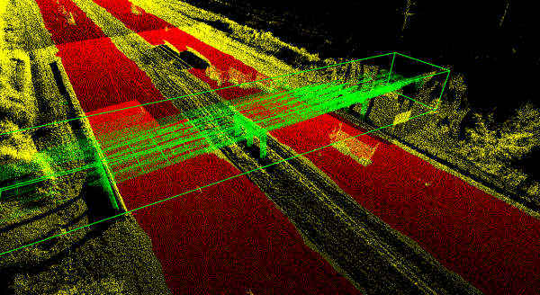
- Classify Roads and Bridges and extract Bridges as 3D-Objects
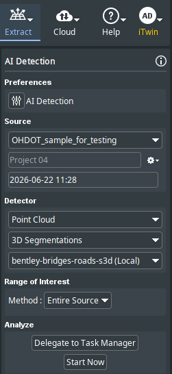
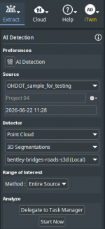
- Set in Extract > AI-Detection and set in a New Project
- Select your pointcloud
- 3D-Segmentation
- bentley-road-bridge-detector
- Start
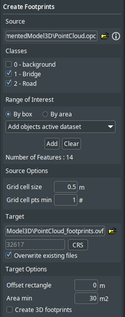
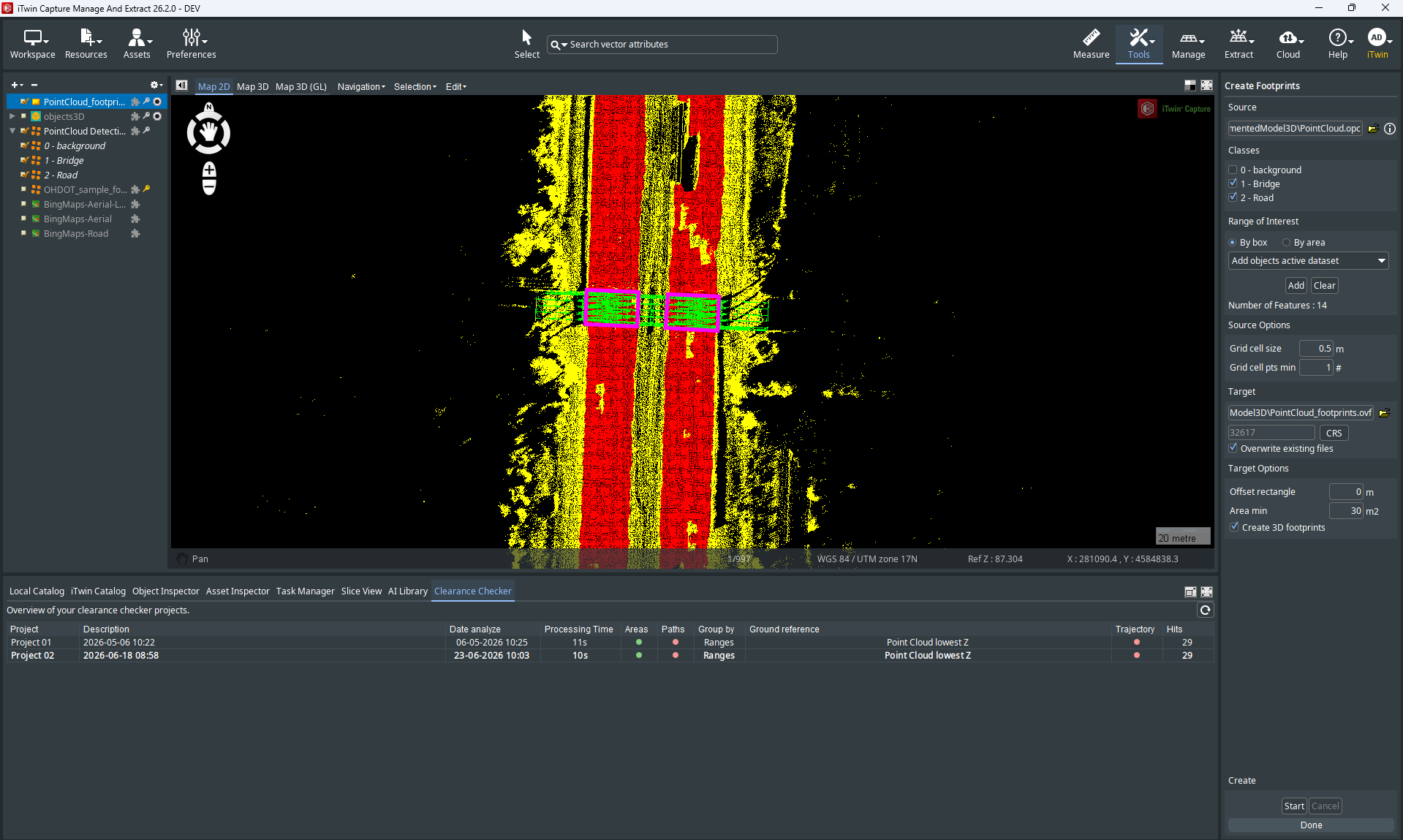
- Create bridges' footprints
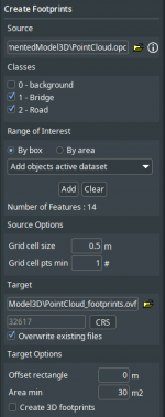
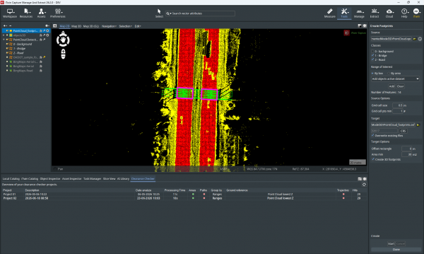
- Set in Tools > Create footprints
- Extract bridges footprints (See documentation)
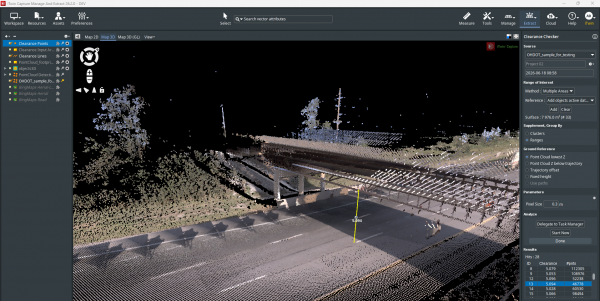
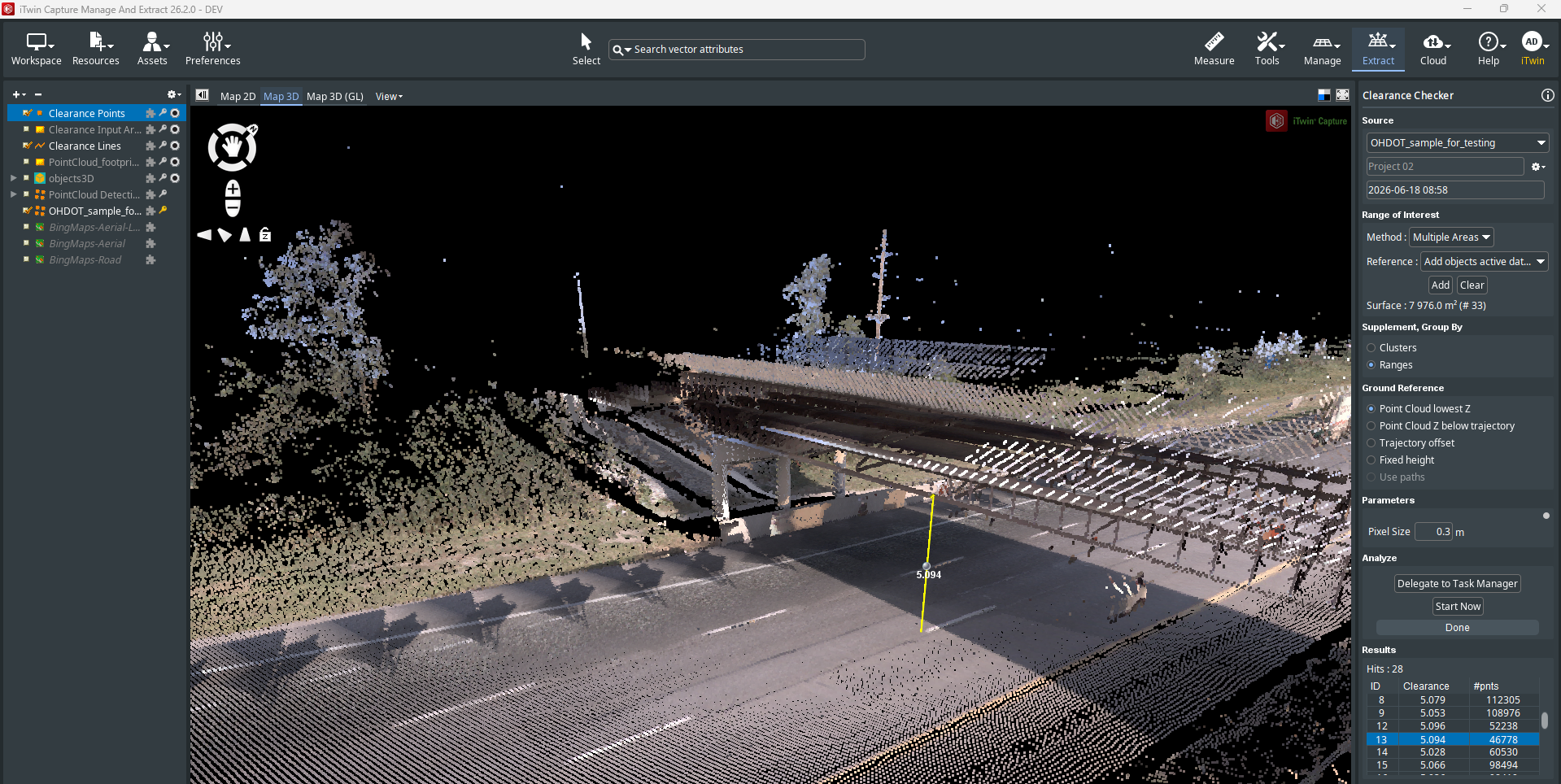
- Calculate bridge clearance for each bridge
- Set in Extract > Clearance Checker and Set in a New Project
- Select your raw RGB pointcloud
- Method: Multiple Areas and select the footprints you previously extracted
- Define settings as per your needs (see documentation) and and Start
- Output
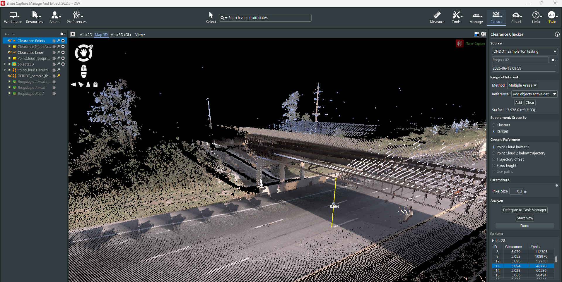
- The output of this work is individual points
- For each bridge: 1 point + minimal clearance available as an attribute that can be shared or exported to any GIS format