Table of Contents
Getting started with the Flash WebClient
The goal of this exercise is to demonstrate to the user how to connect to a Flash publication and use the available tools for viewing, navigation and measuring. The user will be also able to measure objects and download the measurements as vector files.
Relevant for : Flash WebClient
Preparations
Reference documentation
Resources
- Vexcel Mustang, available in https://demo.orbitgt.com/3d_mapping/.
Exercise
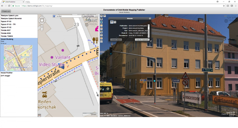
Connect to the 3DM Demonstrator, open a publication and change its layout. Use the geocoding engine, display metadata and point cloud on the imagery. Measure objects and save the measurements.
- Connect to 3DM Demonstrator
Url: https://demo.orbitgt.com/3d_mapping. - Open publication
Choose the publication “Vexcel Mustang”. - Change settings
Arrange the map position to “Left” in Settings (Sidebar Menu) - Use geocoding engine
Open a view on the street “Lendkai”. - Show metadata
Display metadata for the opened image on “Lendkai”(Sidebar Menu) - Overlay pointcloud
Display the point cloud on the imagery(Sidebar Menu) - Measurements
Measure two poles using the point measurement and choose “Add to PointLayer” to save them as objects. - Download results
Go to “Vector Overlays”, “Export Layer…” to download the vector files.
Results