Table of Contents
Combining data from different sensors
The goal of this exercise is to demonstrate to the user how to combine data from different sensors within the Orbit products. The user will be able to combine MM and UAS data, add and overlay datasets, as well as start a measurement in MM view and finish it in UAS 3D view.
- Relevant for : 3DM Feature Extraction, 3DM Content Manager, 3DM Publisher
- Product use for recording : 3DM Feature Extraction Standard 18.1.1
Preparations
Reference documentation
Preceding Exercises
Resources
- BE Ghent Combining Sensors\MMS Orbit Runs
- BE Ghent Combining Sensors\Reference Data
- BE Ghent Combining Sensors\UAS Orbit Runs
Exercise
Add and overlay reference data in different formats, measure in MM View and UAV 3D View.
- Add the Mobile Mapping Run
BE Ghent by ImageV from folder “MMS Orbit Runs”. - Add the UAS Run
BE Ghent by Orbit from folder “UAS Orbit Runs”. - Add the point cloud file
“Aerial LiDAR.opc” from folder “Aerial LiDAR” (Reference Data folder). - Add the image resource
“Orthophoto from UAS.omi” from folder “Ortophotos” (Reference Data folder). - Add the vector resource
“roads.shp” from folder Vector Resources (Reference Data folder). - Overlay
the vector file “roads.shp” on the MM images. - Measure
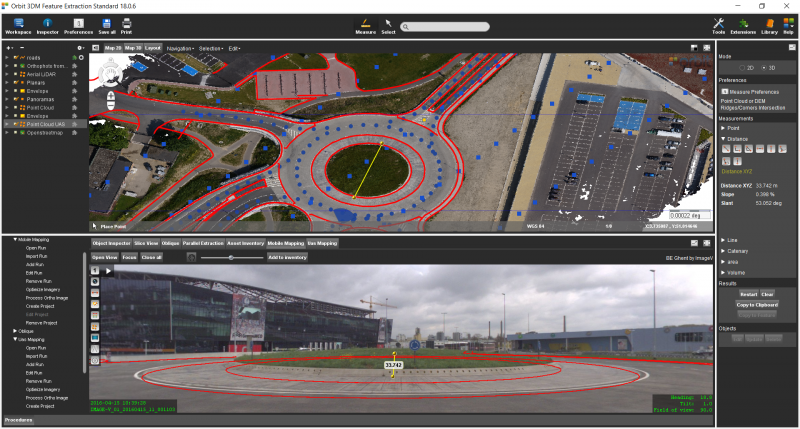
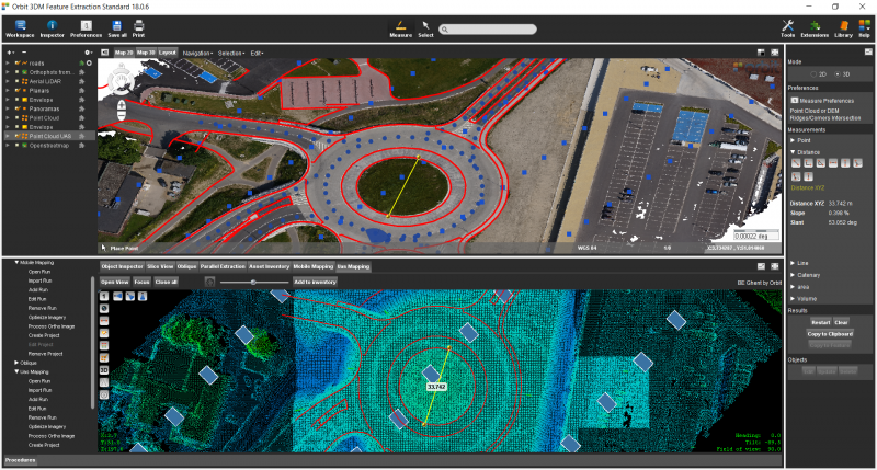
the diameter of the roundabout, starting in the MM image view and finishing the measurement on the UAV 3D Pointcloud View.
Results