Measurements using Reference Surfaces
This page documents the Reference Surface Technique for Basic Measurements.
For more information on 3D Measurements, see Measure.
DEM Intersection
Principle of Reference Planes Intersection
A 3D coordinate measured via DEM intersection is the result of the intersection of the reconstructed 3D line through the focal point of the camera and the measured point in the image and DEM.
How to measure
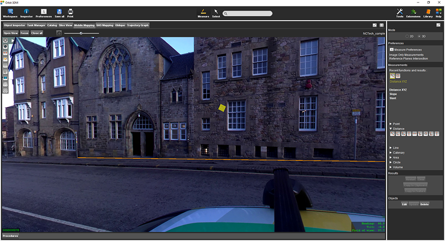
DEM Intersection can only be used in an Image View and DEM has to be part of the Run\Project. Open one image and measure a point with one click.
Reference Planes Intersection
Principle of Reference Planes Intersection
The result of the measurement with Reference Planes Intersection measuring technique is a 3D coordinate derived by the intersection of the 3D line (photo position - point measured in the photo) with a horizontal or vertical plane. If Show hover is enabled in preferences 3D hover will indicate found planes.
- The horizontal plane can be assumed to be the ground plane as it is calculated from the photo position 3D coordinates and camera height defined in the project. Used in Mobile Mapping context, not relevant for UAS and Oblique types of data.
- Vertical planes require a 2D/3D line or area vector layer opened. The plane used in measurement is a vertical plane which closest to the measured position line\outline of the area belongs to.
How to measure
Horizontal plane
Open one image and measure a point on the ground with one click. If the measurement does not look correct please check that the camera height is set correctly in the Orbit Mapping Run.
Vertical plane
Add a vector line or area vector layer to the datasets list. Open one image and measure a point in a vertical plane.
Ground Surface Intersection
The result of the measurement with the Ground Surface Intersection measuring technique is a 3D coordinate derived by the intersection of the 3D line (photo position - point measured in the photo) with the horizontal ground surface plane. The ground surface is calculated from the photo position 3D coordinates and camera height defined in the project. Used in Mobile Mapping context, not relevant for UAS and Oblique types of data.
How to measure
Open one image and measure a point on the ground with one click. If the measurement does not look correct please check that the camera height is set correctly in the Orbit Mapping Run.