For documentation on the current version, please check Knowledge Base.
Compare extension
This extension to Orbit GIS allows you to compare dataset by looking at them side-by-side or by overlaying them.
You can compare any set of layers to any other set of layers.
This extension is standard within Orbit GIS.
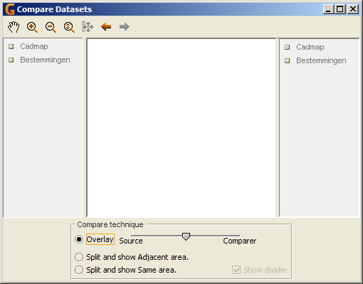
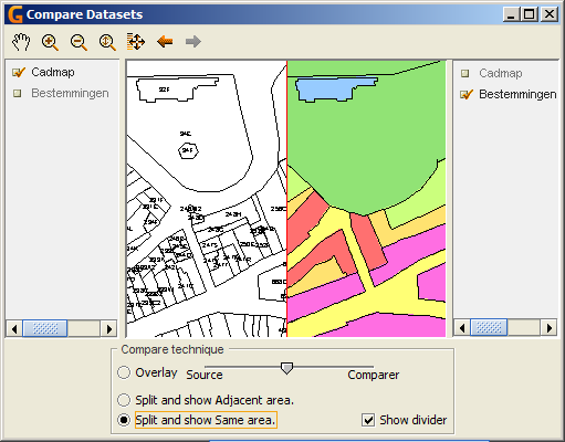
The extension 'compare' opens in a new window. Open this window by selecting the menu Extension –> Compare datasets.
The Compare Window
The extension contains standardly 7 navigation tools  Find how to use this tools here
The Compare view shows the selected datasets.
There is a left and a right dataset list to be able to compare different datasets. The set of layers are in both lists the same, and are the same as presented in the Map view. To add another layer, this layer has to be added in the map view and will automatically appear in the compare datasetlist. Marking each layer will make it visible.
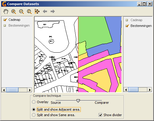
In the bottom part of the window, you find the 3 different compare techniques.
Comparing the datasets
The compare tool shows the names of the datasets that are dragged into the dataset list in a right and a left column. The center view shows the datasets.
Mark the datasets that are to be compared. The left dataset(s) is (are) the source(s) and the right dataset(s) is (are) the comparer(s).
There are three ways to compare two sets of layers:
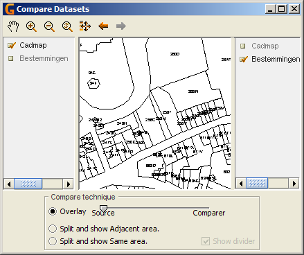
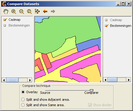
Overlay
Both datasets are visualised with a transparency of 50%. This transparency can be changed by moving the button from or to the source/comparer:
- Moving the button to the direction of the source will raise the transparency of the comparer and diminish the transparency of the source
- Moving the button to the direction of the comparer will raise the transparency of the source and diminish the transparency of the comparer
