For documentation on the current version, please check Knowledge Base.
Import and Geocode
What does it do ?
Use the Import and Geocode procedure to convert table data into a spatial dataset. The source table data must contain two columns, one with an X and one with a Y coordinate. The table can then be converted into point data.
The Tool
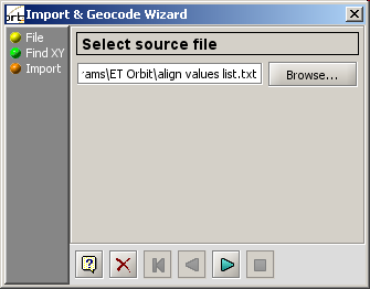
The Orbit GIS Import and Geocode tool is a 3 step procedure. Launch the procedure by selecting the menu option Tools → Import & Geocode… .
Step 1
Select the source file. Click on Browse… to select a file from your file system. You can select *.txt or *.dbf files.
Step 2
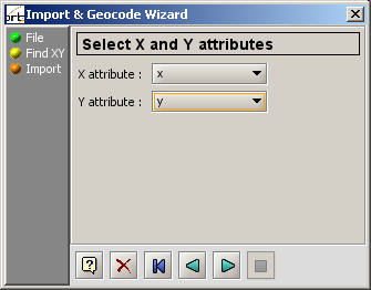
Specify the columns for the X and the Y coordinate. If the table contains columns with a X or Y header, they are recognised.
Step 3
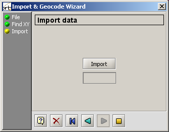
Import the table. A new dataset is created with a spatial object for each table row, using the X,Y coordinate as point object and assigning all other columns as attributes to the new objects.
The new dataset appears in the Dataset List. Press Save to store it permanently on disc.


