This is documentation of an archived release.
For documentation on the current version, please check Knowledge Base.
For documentation on the current version, please check Knowledge Base.
CHC Navigation v1
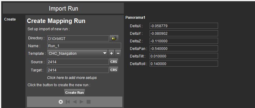
This page describes the original CHC Navigation mobile mapping resources v1 for Orbit import.
Use the corresponding Orbit Import Template to import the described original data.
It is recommend to read first Orbit Mapping Resource.
Panoramas
Image files
- Image type : equirectangular panoramas.
- Image resolution : Ratio 2×1.
- File format : Each image is one *.jpg file.
- File name : Exactly as Filename of image positions file, see below.
- Folder structure : All files in one folder.
Image positions file
- File format : One ascii file.
- File structure Rows : Each image is one record.
- File structure Columns : Space separated (char32), no headers, with exact order as in the example below.
- Value of Filename, column 0 : File name as on disk, without file extension.
- Value of Coordinates : any supported coordinate system can be used, Long/Lat order for geographical coordinates, decimal notation, without thousands separator.
- Value of Timestamps, column 2: GPS seconds.
00000000000000001 20181118080928254 29368.254 545718.894125 3370877.849061 27.433184 30.45706176465 114.47603215918 0.573554 1.151414 -1.626862
00000000000000002 20181118080929254 29369.255 545718.736663 3370886.576088 27.342000 30.45714048892 114.47603090239 0.617157 1.131644 0.799258
00000000000000003 20181118080930255 29370.255 545718.671221 3370896.103680 27.251984 30.45722643085 114.47603063880 0.396607 0.946139 1.229385
00000000000000004 20181118080931255 29371.256 545718.699532 3370906.395526 27.138884 30.45731926282 114.47603138487 0.713766 0.705438 1.586360
00000000000000005 20181118080932256 29372.256 545718.623886 3370917.347508 27.006000 30.45741805321 114.47603107749 0.625114 1.105981 0.156881
...
Boresight and Lever Arms
LiDAR
Point cloud files
- File format : One or more *.las files in one folder.
- File structure : Las version 1.2.
- Value of Coordinates : Same CRS as Photopositions.
- Value of Timestamps : Same Time Reference as Photopositions, see above.
Last modified:: 2022/04/15 06:19
