This is documentation of an archived release.
For documentation on the current version, please check Knowledge Base.
For documentation on the current version, please check Knowledge Base.
What's New Version 20.3
Return to the What's New Overview

3DM Viewer
New Features and Enhancements
- New Focus View Action
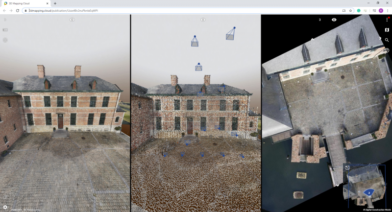
New View Action is added to synchronize all other Views to the Focus Coordinate of the Active View (3DM Cloud Only). - Viewer Reference Ground Height and View Ground Height
The Viewer Reference Ground Height is saved in the Personal Workspace, Publication or Project and no longer updated by the local Ground Height of a Spherical Image View. - Synchronize Views by Reference View
A dedicated Viewer Setting is added to activate Synchronize Views by Reference View as an option of Synchronize Views. - Synchronize Views by View Focus Coordinate and View Position Coordinate
View Mode and View Tilt define the representation of the Field Of View and from this version also the Coordinate of the Active View to synchronize other Views.
The “Pizza Slice” is used to represent a Spherical Image View and a “Horizontal” 3D View or Planar Image View.
An area on Ground Height is used for an “Oblique” or “Nadir” 3D View or Planar Image View.
If the Field of View is represented as an Area on Ground Height, then the intersection of View Center and Ground Height is used as Focus Coordinate to synchronize other Views. Else the View Position Coordinate of the Active View is used. - Support for Hong Kong local geocoding service and base map.
Usabilities
- Display notification if View Focus Coordinate is outside the Resource Bounding Box when opening a Spherical Image.
- Enter decimal Viewer Ground Height.
- Various layout updates for Firefox on Measure and Annotation Sidebar.
- The icon indicating the closest nearby image having the same orientation inside UAS view mode.
- Keep View Focus Coordinate when navigating to previous/next UAS Planar Nadir Image using the Sequence function from the Viewer Action Menu
- Viewer Setting to select Active Geocoding Service.
- Reverse listing of Geopunt geocoding suggestions.
- Real-time view synchronization lags behind one frame.
Bug fixes
- Annotation drop to ground.
- Vector data labels block vector objects streaming.
Pauze icon is added to indicate not all labels are loaded. - Ground Height Focus Coordinate using a dem and vertical CRS on Oblique Image View mode.
- Low quality textured mesh on small views.
- Incomplete display of UAS Planar Image resource pyramid footprints on 3D View.
- Incomplete rendering of vector data area objects.
3DM Viewer SDK and Plugins
The 3DM Viewer SDK and Plugins include the 3DM Viewer improvements.
Bug fixes
- Installation of WebSocket module in Phyton.
- Global MapObjects are broken on the reference map.
- Incorrect initial ground height.
3DM Publisher
The 3DM Publisher includes the 3DM Viewer improvements.
New Features and Enhancements
- Custom Help menu item.
- Custom Viewer menu item to open 3rd party application via Hyperlink.
Usabilities
- Simplified publication URL scheme
- Case insensitive of username login
Bug fixes
- Duplicate publication
- Hide organization logo, coming from system panel.
3DM Cloud
The 3DM Cloud includes the 3DM Viewer improvements.
New Features and Enhancements
- Dynamic resource groups
This allows the publication, hosting really big resource groups, to load on the fly local resources at the focus coordinate without loading the full resource.
Usabilities
- Display formatting of invoice amount
Bug fixes
- Show invoices for owner
- Delete 3D Model
Last modified:: 2020/04/09 09:39