For documentation on the current version, please check Knowledge Base.
Slice View
This page describes the use and functionalties of the Slice View tool.
Content Manager, Feature Extraction Basic - Standard -Pro
![]() Map 3D > Tabs > Slice View
Map 3D > Tabs > Slice View
Concepts
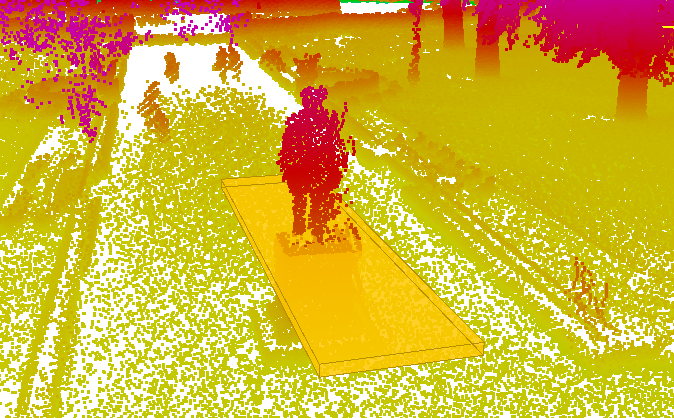
A slice represents a 2D representation of a chosen area from a 3D point cloud based on a defined plane. It can be a horizontal, vertical or user defined angular plane.
Navigation
Navigation in the Slice Viewer window is similar to navigation on 3D Map, see: Map 3D Navigation functions
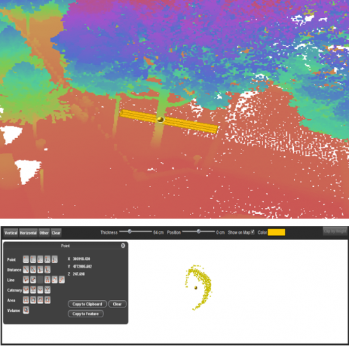
Slice View Tab
Vertical
Defines the vertical plane of the slice by clicking for the origin and end positions on the 3D Map
Horizontal
Defines the horizontal plane of the slice by clicking on a location on the 3D MAP
Other
Defines a plane with a custom angle defined by three clicks: the origin, and the orientation
Measure
Starts the measurement. On the Slice Viewer, the measurements are represented by construction points, that have a correspondent in vertexes on the 3D Map, acording to the selected tool in Map 3D Measurements window.
Clear
Deletes the slice.
Stop Measure
Finalizes the measurement. The construction points are deleted when stopping the measurement.
Clip
Slice Position
By adjusting the slider it is possible to adjust the position of the slice in the 3D Map. This will modify the position of measurements.
Slice Thickness
By adjusting the slider it is possible to modify the thickness of the slice. This will modify the in turn the number of points taken into account when measuring.
Measure functions
All the measuring functions available in the Map 3D Measurements window can be used in the Slice Viewer
How to measure
- Define your slice according to your needs (choose the plane type)
- Point the location of your slice
- Adjust the position and thickness
- Choose the measuring tool you want
- Press Measure
- Click on the desired location on the Slice Viewer
- Stop Measure when the object is completly measured
Results
This tool is very useful for taking measurements in places where there are no points in the pointcloud. For example, to measure exactly the center of tree's bark, where no points are present. In this way we can create new objects with more accurate position.
The measurements can be saved as objects by using the Copy to Feature function on the measurements window, see: Feature Extraction Overview